
Search Klamath Falls Streets in Land Explorer
Klamath County Land Explorer is the strongest starting point for a Klamath Falls street directory search because it joins street geography to the County tax-lot layer. Its single autocomplete search accepts a property ID, map-tax-lot number, owner, address, street, or survey. Search a full address when available, then confirm the selected map feature before saving anything. The viewer auto-selects its first result and limits suggestions, results, and recent searches to six, so a common street or name deserves a careful second look.
The useful result is a parcel lead, not a household roster. Open the popup and record the PropID, MTL, situs address, legal description, owner and mailing fields, and visible jurisdiction layers. A situs address is the physical location of land. A mailing address is where the tax statement is sent. They may match, but neither establishes every person at the property. For a long street, begin at a precise address or MTL and pan along the tax-lot layer instead of assuming the autocomplete list represents the whole corridor.
- Enter the street or address in Land Explorer and inspect the selected feature before relying on it.
- Copy the property ID, MTL, situs address, and legal description exactly as displayed.
- Use the map layers to note City Limits, UGB, road, survey, or district context that affects the records office.
- Check the same parcel in Property Search Online for assessment, sales, value history, and deed-history leads.
- Use recorded instruments or historic directories only after the parcel identifiers point to the same property.
Klamath Falls Street Results Need Parcel Context
The County map can display more than a street label. Depending on the parcel, its tax-lot information may include acreage, land and improvement values, property class, sale date and price, tax-map identifiers, construction details, zoning, precinct, ward, road district, and service-district fields. Some fields can be blank. Those details help test whether two records concern the same land, particularly where a deed uses a subdivision lot, block, or Township, Range, and Section rather than a modern street number.
Klamath County's Digital Research Room is the recorded-document route once the parcel is identified. The captured Clerk interface shows a basic entry point, while current unattended access redirected to login. Cached public descriptions list name, document-number, and recording-date searches. They do not establish a street-address search. Treat a recorded party as a party to a document, then verify the instrument and legal description before drawing a property-history conclusion.
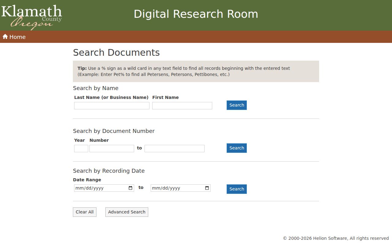
The Research Room image is a reminder to move from a street lead to a recorded instrument with its own document number, date, parties, and legal description. It is not a directory of present occupants.
| Map or record clue | Best Klamath County channel | How it helps a street search | Important limit |
|---|---|---|---|
| Address, PropID, MTL, owner, or street | Land Explorer | Locates a tax lot and its spatial context | Nonexact results require review |
| Assessment, sales, deed-history lead | Assessor Property Search Online | Connects a selected parcel to account facts | Owner or mailing contact is not an occupant list |
| Party, document number, or recording date | Clerk Digital Research Room | Finds the recorded instrument trail | Current access and image terms need Clerk confirmation |
| Survey, partition, or corner question | County Survey Viewer | Bridges boundary and legal-description changes | A survey map is not proof of a current legal line |
Klamath Falls Street Numbers and Jurisdiction
Street numbers are assigned under different rules on either side of the City boundary. Within Klamath Falls, City Code chapter 8 says new building numbers are assigned at permit issuance, with odd numbers on the north and east sides and even numbers on the south and west sides. A corner building follows its front, and visible numbers must be at least three inches high. That rule helps read a current City address, but it does not make the number a permanent legal description for historical deed work.
Outside City limits, Klamath County's rural addressing process follows its own guidelines. A final mailing address comes after the documented access, permit, and occupancy process described by the County. A property with a Klamath Falls postal name may still sit outside the City. Check Land Explorer's City Limits and UGB layers before sending a dated permit, code, or project request to the City Recorder rather than a County office. The postal place name alone cannot settle the jurisdiction.
- PropID
- A County property identifier used to keep a map result tied to the right tax lot.
- MTL
- Map-tax-lot notation, a map-based locator that can help match assessment and GIS material.
- Legal description
- The recorded land description, often a lot, block, subdivision, or Township, Range, and Section reference rather than a street address.
- UGB
- The urban growth boundary, a planning boundary that can differ from City limits and postal geography.
Klamath Falls Street Records by Address
A Klamath Falls street directory works best as a chain of address-based records, each with a separate purpose. Land Explorer supplies the spatial starting point. The Assessor's Property Search Online can provide ownership, value history, assessment, sales, deed-history, and tax-account mailing facts. The Clerk holds recorded instruments. City-created permits or code material, if the parcel is inside the City, belong with the City Recorder or Development Services and should be requested with an address, date range, and department instead of presumed to be searchable online.
| Address-linked record | Custodian or tool | What it can contribute | Access boundary |
|---|---|---|---|
| Tax-lot map and parcel attributes | Klamath County Land Explorer | Situs, owner and mailing fields, map/legal/value and district context when populated | Map geometry and attributes are not controlling title evidence |
| Assessment account | Klamath County Assessor PSO | Owner, mailing address, values, sales, and deed-history leads | It is not a current-resident roll |
| Deed, mortgage, lien, release, or plat | Klamath County Clerk | Recorded parties, date, document number, and legal description | Use a Clerk-authorized session or historical route as needed |
| Survey or boundary record | County Survey Viewer and Surveyor records | Subdivision, partition, corner, and boundary-history context | Interpret the survey with the recorded legal record |
| City-created file | City Recorder NextRequest | A dated administrative, project, or permit lead within City jurisdiction | No verified public City permit or code-case search was found |
The property ID and legal description are the join between these sources. A street name connects a reader to the map. The parcel identifiers keep the research from drifting to a similar address. When the ownership sequence matters, compare the Assessor's deed-history clue with the actual Clerk instrument rather than treating the tax roll as the final title record.
Klamath County Deeds Behind a Street
For a current parcel, PSO Deed History and Sales can point to a recent transfer. The next step is the Clerk's recorded-document index, using the recorded parties, date, document number, and legal description. In a chain of title, the newest seller is often found as the buyer in an earlier transfer. Follow that relationship backward only while the legal description remains consistent. A tax-lot number or street label alone is not the legal description the Clerk uses for older research.
The State Archives inventory supplies the historic road when an online session does not. It lists Klamath deed series from 1871 to 2000, direct and indirect deed-index series for 1875 to 1995 and 1995 to 2000, and deed volumes or microfilm for 1871 to 1965. Older material may require the Clerk or archives route rather than an expectation that every book is on an open web screen. A certified recorded copy was listed at $7.75 in the County fee schedule; confirm the current fee before ordering because the Recordings page notes new fees effective June 16, 2025.
The Oregon State Archives Klamath County inventory documents the historical record series and their physical access path.
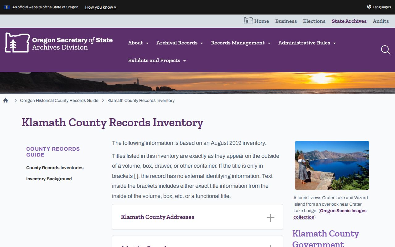
The inventory gives a date-based route for older deeds and indexes, especially where a present-day map field cannot reach a historic volume.
Klamath Street History Uses Maps and Surveys
When a modern street address does not appear in an older deed, a map and survey trail can explain why. The County Survey Viewer lists filed surveys searchable online from 1951 forward. The State Archives inventory also identifies Surveyor material reaching to about 1858, including modified Assessor maps and corner-restoration material. A filed survey can connect a subdivision, partition, corner, or boundary clue to the legal description used in a recorded instrument. It does not by itself establish a present legal boundary, but it can keep a street search from stopping at a changed label.
Historical map periods add a dated visual check. The local inventory identifies Sanborn runs for 1911-1916, 1921-1930, and 1931-1957, plus Metsker atlases for 1936 and 1961. The Library of Congress May 1911 Klamath Falls map has 16 sheets. Compare the map's street, block, or building context to the directory date and legal description. If the names do not align, retain the discrepancy and look for a plat or survey instead of forcing an old map onto a current parcel.
Klamath Street History Has a Documented Gap
Historic tax-lot cards can add a second property timeline. The State Archives lists Klamath cards from 1935 to 2009, with 1935 through 1984 on microfilm and 1984 through 2009 in Assessor binders. It also records a material limitation: continuing tax-roll cards for 1938 through 1964 were water damaged or destroyed. A missing card during those years is not proof that a parcel had no history.
Use a gap as a reason to pivot. Deed indexes, recorded volumes, surveys, plats, road actions, ownership plats, the County Museum's dated directories, and released census records may each preserve a different part of the trail. For very old Klamath Falls material, search the historical place name Linkville as well. Linkville was renamed Klamath Falls in 1893, and pre-1882 County context can lead into Lake County records.
Records timing. A current portal result and a historic record series answer different questions. Keep the source date beside every street-level finding, and ask the Clerk or archives about access instead of filling a documented gap with a guess.
Klamath Falls Street Directory Limits
Public land tools identify parcel and recorded-document facts, not every person connected to an address. They may show a recorded owner or tax-mail contact, but they do not verify the current people at a property. Unrecorded occupants and other household relationships are not categories in the County's verified parcel tools. Utility-customer and delivery information are not public street-directory sources, and motor-vehicle personal information is restricted by the federal Driver's Privacy Protection Act.
Oregon election information has separate protections. Oregon My Vote is a person's own registration and update service, not a public by-street browser. Any authorized voter-list request follows the County or Secretary of State process and still excludes confidential and protected addresses. Public record availability is never permission to contact, track, threaten, or expose someone.
Lawful personal use. Use Klamath Falls street records for property history, family research, civic questions, or another lawful personal purpose. Oregon's protections against stalking and unlawful disclosure of private information apply even when a record supplied a starting lead.