
Klamath Falls Previous Residents by Era
The record trail behind a Klamath Falls address changes with the period being researched. Recorded land material can establish a transfer or legal description. A tax-lot card can add assessment context. Directories, newspapers, and census returns can place people at or near an address on a particular date. None replaces the others. The strongest approach to previous residents compares an ownership record with a household source and keeps the dates visible instead of treating one result as a continuous history.
| Historical source | Verified time span | Klamath access route | What it can establish |
|---|---|---|---|
| Deed series and volumes | 1871-2000; volumes or microfilm 1871-1965 | Clerk and State Archives historical route | Recorded parties and legal land trail, not a street directory |
| Direct and indirect deed indexes | 1875-1995 and 1995-2000 listed series | Clerk and Archives route | Instrument leads by party and recording context |
| Tax-lot cards | 1935-2009 | Assessor, microfilm through 1984 and binders after | Parcel and assessment-history context |
| City directories | 1905, 1909, and 1920 verified online | Klamath County Museums | Printed historical name and address association |
| Federal census | Latest released census is 1950 | National Archives and genealogy collections | A household snapshot for a census date |
| Historic Oregon Newspapers | Local publications to 1965 as stated by the library | Library-linked newspaper program | Dated event and community leads |
Start with the era. A recent transfer is usually best approached through the parcel and recorded-document channels. For an early twentieth-century household, begin with the three verified directory years and pair a hit with newspaper or census evidence. When an address has changed form, rely on its legal description, map-tax-lot context, or survey rather than forcing an old record to match a modern house number.
Klamath County's Recordings page provides the current County route for recorded instruments and fee information.
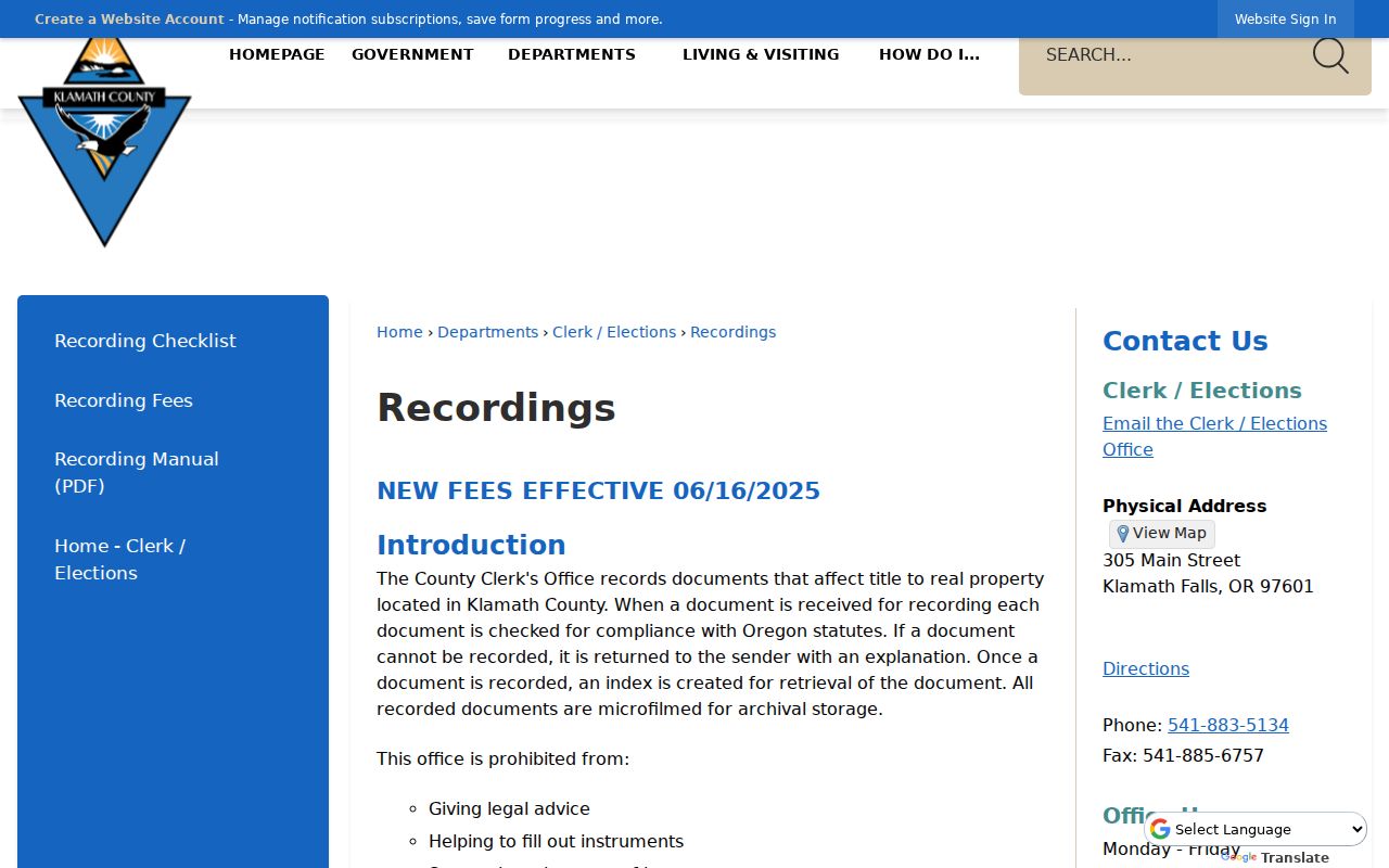
The County recording screen belongs at the ownership end of an address history. It should be paired with a dated people source before naming past residents of a home.
Start Previous Residents With Klamath Parcel IDs
Begin a house history in Land Explorer or the Assessor's Property Search Online. Land Explorer's search accepts an address, street, owner, PropID, MTL, or survey. Select the parcel carefully, because the first autocomplete result is automatically selected and similar names or streets can lead to the wrong land. Save the PropID, MTL, situs address, owner and mailing fields, legal description, and any sale or deed-history clue. The address-to-parcel bridge makes the later Clerk search much less likely to jump between properties.
Property Search Online can supply current assessment facts, value history, deed-history and sales clues, and the owner or mailing field. Its public field-by-field search controls were not verified in the research, so use the County's confirmed information categories rather than assuming a particular search menu. The owner named in a tax account is not proof of current occupancy. For previous residents, it is a lead to a transfer, a date, and a legal description that can be checked against independent historical material.
- Situs address
- The physical location of the parcel. It may differ from the tax mailing address.
- MTL
- Map-tax-lot notation, used with a property ID to keep map and assessment research on the same parcel.
- Legal description
- The lot, block, subdivision, or land-system description used in recorded documents. It is not simply a street address.
- Deed history
- An assessment lead to transfers that still needs confirmation through the actual recorded instrument.
Klamath County Deeds Trace Previous Residents Backward
A deed chain follows ownership, not necessarily residency, but it supplies the dated backbone for a Klamath Falls house history. With a Clerk-authorized session, the Digital Research Room's cached public descriptions identify party-name, recording-date, and document-number routes. Capture the newest instrument's grantor, grantee, recording date, document number, and legal description. Then look for the earlier transaction in which the seller appears as a prior buyer. Use book and page, MTL context, or the legal description when a name is common.
- Confirm the current parcel in Land Explorer or PSO and preserve its legal description.
- Use a recent sale or deed-history clue to identify the newest recorded transfer.
- Record the grantor, grantee, recording date, document number, and legal description from the instrument.
- Search the former seller as an earlier grantee, checking that the land description still matches.
- For older transfers, continue through the State Archives deed volumes, index series, and microfilm route rather than assuming a live web index is complete.
- Grantor
- The party transferring an interest in the recorded instrument.
- Grantee
- The party receiving an interest in the recorded instrument.
- Chain of title
- The linked sequence of recorded transfers for the same legal parcel.
- Criss-cross directory
- A reverse-style directory organized to connect an address with a printed name for its publication date.
- Enumeration district
- The area used to organize a federal census, useful when matching an address to a census schedule.
Klamath Previous Residents Need a Gap Check
Klamath County's historic tax-lot cards cover 1935 through 2009, but their format and survival matter. The State Archives lists 1935 through 1984 on microfilm and 1984 through 2009 in Assessor binders. It also identifies a damaged interval: continuing tax-roll cards for 1938 through 1964 were water damaged or destroyed. Do not turn an absent card into a claim that no one owned or used the property during that period.
Several other series can bridge part of that gap. Klamath deed volumes, direct and indirect indexes, surveys, plats, road actions, and ownership plats preserve different kinds of evidence. Surveys are especially helpful when a subdivision, boundary, or street label has changed shape. The County Survey Viewer lists filed surveys searchable online from 1951 forward, while original surveys and related materials can reach back to about 1858. Use the map to reconcile land descriptions, then return to the recorded record for the controlling title trail.
Documented limitation. A missing tax card is a source-specific finding, not a blank history. Note the damaged 1938-1964 run and redirect the search to deeds, plats, surveys, directories, or census material.
Linkville Names Shape Klamath House History
Older Klamath Falls research needs one practical name variation: Linkville. The City dates the rename from Linkville to Klamath Falls to 1893, and Klamath County was created from Lake County in 1882. A historic search that only uses the present name can miss a newspaper, map, directory, or land reference. Pre-1882 context may belong in Lake County material, while later records may be described through County, City, Museum, library, or State Archives custody.
The City of Klamath Falls history provides the local chronology behind that alternate place name.
Use Linkville as a search variant for an older record, then preserve the document's own place name and date rather than rewriting the evidence into a modern label.
Klamath Previous Residents in Directories and Census
The Klamath County Museums collection has three verified digitized Klamath Falls city directories: 1905, 1909, and 1920. They are useful for previous residents because each printed entry can be transcribed as a dated clue. Capture the spelling, initials, address, and any visible occupation, business, or relationship notation in the actual entry. A missing name can reflect an unscanned year, a name variant, rural coverage, or the collection's own inclusion rules. It does not establish that a person was absent from the community.
Klamath County Museums maintains the historical collection system that links the digitized directories, newspaper indexes, oral histories, and other research material.
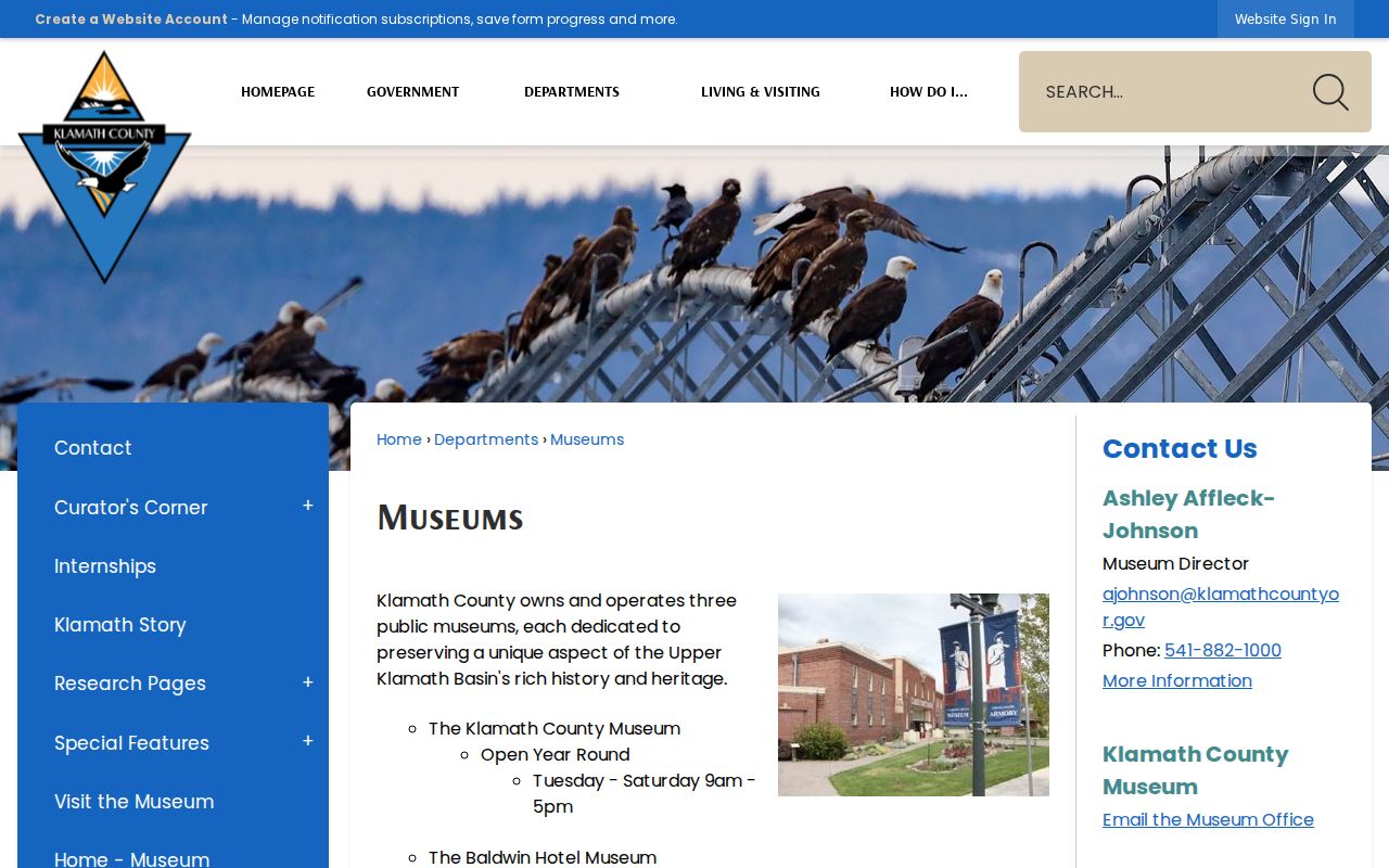
The Museum collections add dated community context to a deed chain, without converting a printed historical entry into evidence of current occupancy.
- Search the 1905, 1909, or 1920 directory and transcribe the entry exactly as printed.
- Search the Museum's 1899-1909 newspaper-headline index and Historic Oregon Newspapers for the name, address, business, and relatives.
- Compare the address with a verified historical map or Sanborn period and the parcel's current legal description.
- Pair the directory date with the nearest released federal census, using the census as a household snapshot rather than a yearly record.
- Use probate, open historic vital material, or a recorded transfer for a dated endpoint when the research concerns a deceased former resident.
Klamath Falls Previous Residents Need Dates
The federal census gives a household-level snapshot, while a directory offers a printed local entry and a deed records a land transaction. Pairing them avoids a common mistake: treating a transfer as proof of who occupied a house, or treating a directory listing as proof of title. The latest public federal population census is 1950 under the 72-year release framework cited by the National Archives. For a directory year, choose the closest released census, then compare names, ages, relationships, and place evidence carefully.
The National Archives 1950 Census resource is the starting point for that released census layer.
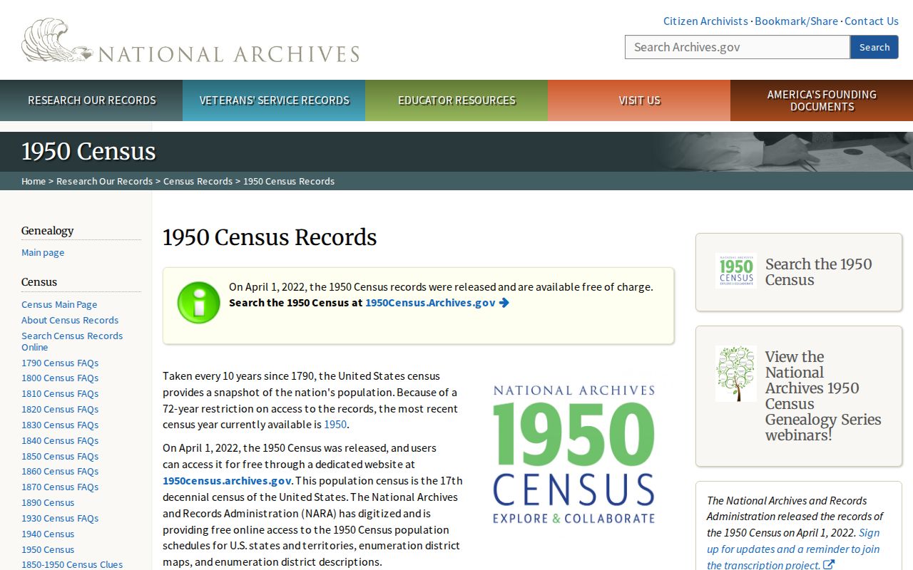
The census image supports a dated household check. It does not identify a present household or fill years that have no released census return.
Klamath Previous Residents Endpoints and Limits
For a deceased former owner or a long-ago household, probate, obituary, cemetery, and historic vital channels can add dates and relationships to the address trail. Klamath probate records are listed from 1882 through 2015, with an older probate microfiche index around 1899 through 1983. Those sources can establish estate context or a successor relationship when the applicable record is open. They do not create a present-day location record for a living person.
Library access adds useful evidence but also real boundaries. The Main Library offers in-building Ancestry Library Edition and FamilySearch Affiliate access, while HeritageQuest is available remotely to qualifying cardholders. Restricted FamilySearch images can remain unavailable because of rights limits. The library, Museum, and Shaw Historical Library each keep different materials, and Shaw's water-leak closure should be checked before a visit. Keep every source separate: a directory hit, a newspaper mention, a map, and an estate file each say something different.
Lawful personal use. Previous-resident research is appropriate for house history, family history, and other lawful personal research. Never use an old address trail to track, harass, expose, or harm a living person.