
Klamath Falls Neighbor Records
Klamath Falls neighbors are best researched as nearby parcels, each checked on its own terms. Klamath County Land Explorer maps tax lots and can display parcel information. The Assessor's Property Search Online adds account, value, sales, and deed-history leads. A city or county request can seek a specific address-and-date record, but no verified system produces a complete household roster.
| Source | Block evidence | Access and limit |
|---|---|---|
| Land Explorer taxlots | Visible parcel polygons and clicked owner, mailing, situs, and property attributes | Map browse, not a compiled neighbor or radius list |
| Assessor PSO | Parcel-specific assessment, sale, and deed-history clues | Account owner is not proof of occupancy |
| City Limits and UGB layers | Which local jurisdiction applies to a block | Boundary evidence, not postal or household data |
| County or SOS voter route | Authorized voter-list data within statutory limits | My Vote is not a public street browse; protected records stay withheld |
| Focused public-record request | Eligible permit, project, code, or road record | Needs an address, date, department, and custodian |
Recorded owner, tax mailing contact, and occupant are different facts. A parcel can have an owner who lives elsewhere, a mailing address that handles tax bills, and several occupants who do not appear in land records. That difference keeps a block search grounded in what the source actually says.
Map a Klamath Falls Block
Land Explorer has one nonexact search box. It accepts a PropID, MTL, owner, address, street, or survey. The configured search offers up to six suggestions and auto-selects the first result, so verify the street number and parcel before treating a map popup as the starting property. Map Layers, Draw, Measure, and coordinate tools help with context, but they do not create a neighbor list.
- Search the initial Klamath Falls address, PropID, MTL, owner, or street in Land Explorer.
- Confirm the selected starting tax lot and note the property ID, map-tax-lot number, situs address, and jurisdiction layers.
- Pan or zoom to each contiguous visible Klamath County Taxlots polygon, then click it and preserve its parcel identifier separately.
- Use PSO or the Clerk route only to check the specific parcel's account or recorded-document lead.
- For a whole named street rather than the immediate block, use the Klamath Falls by-street record path.
This is a parcel-by-parcel method. There is no documented radius, buffer, or compiled owner-list function in Land Explorer. It is more accurate to say a map displayed nearby tax lots than to claim it returned all neighbors.
The Klamath County taxlot service is the source behind this parcel context. Its screenshot shows the geographic record layer used for a Klamath Falls neighbors check.
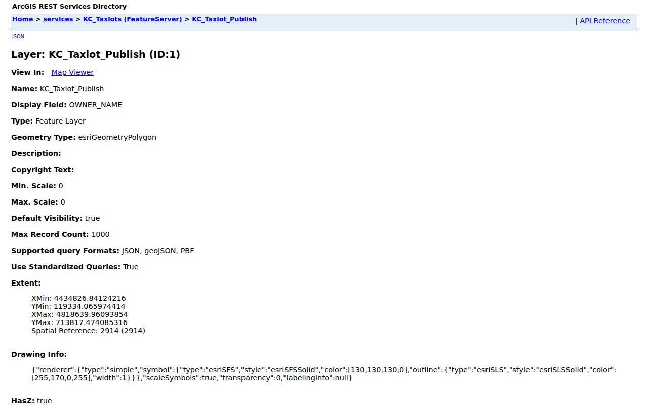
The taxlot layer is evidence about mapped properties and their recorded attributes, not a census of people on the block.
Klamath Parcel Popup Limits
A Land Explorer popup can contain a property ID, MTL, situs address, owner name, owner mailing lines, acreage, values, sale data, legal description, and district fields when those data are populated. The county says ownership and value attributes are updated weekly. Those fields make a useful lead for a clerk or assessor check, but GIS geometry and imagery are reference data and may not settle a legal boundary or title question.
A legal description identifies land in recorded documents. A situs address identifies its physical location. A tax mailing address identifies where a statement goes. None of those labels proves every household member or a present neighbor relationship. That distinction matters most when a map result conflicts with a newer transfer or mailing change.
The County's GIS FAQ describes the tax-lot data and its update context. The image below is a Klamath Falls neighbors source for understanding those layers.
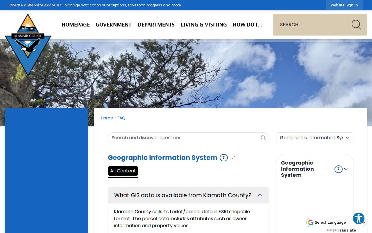
When a boundary or owner result matters, compare it with the Clerk or the other named custodian instead of relying on the image alone.
Klamath Falls Block Jurisdiction
A postal address does not settle whether a block is inside the City of Klamath Falls. City Limits and Urban Growth Boundary layers determine whether a city record, county office, or UGB process is relevant. A built-up property can sit outside city limits. Before requesting a city permit or code record, use the city map and the parcel's jurisdiction layer, then identify the address, time period, and department.
The city routes public-record requests through its Recorder and NextRequest portal. No public city permit-history or code-case search was verified in the research. For a city-created record, a focused request is the safe fallback. For county material, use the County's designated route. This separation prevents a neighbor question from going to the wrong custodian.
The County GIS page explains the public map context. Its Klamath Falls neighbors screenshot provides a useful entry point for the geographic layers.
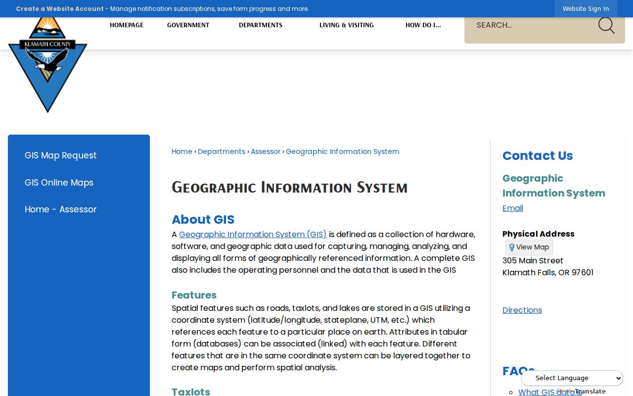
City limits, UGB, postal geography, and a parcel boundary answer different questions and should remain separate in a block note.
Klamath Voter Record Boundaries
Oregon My Vote lets a voter review and update that voter's own registration. It is not a public by-street tool for Klamath Falls neighbors. A statewide or less-than-statewide voter list has a separate request route through the Secretary of State or the local elections official. Oregon law limits voter-list use, excludes protected information, and keeps ballot choices private.
Confidential voters, Address Confidentiality Program participants, and certain election-worker records remain protected. The county custodian for local voter registration is Klamath County Elections. A request for authorized list material is not permission to rebuild a neighborhood roster or infer a protected address.
Klamath County's Elections page is the local custodian entry. The screenshot belongs to that official channel for Klamath Falls neighbors research.
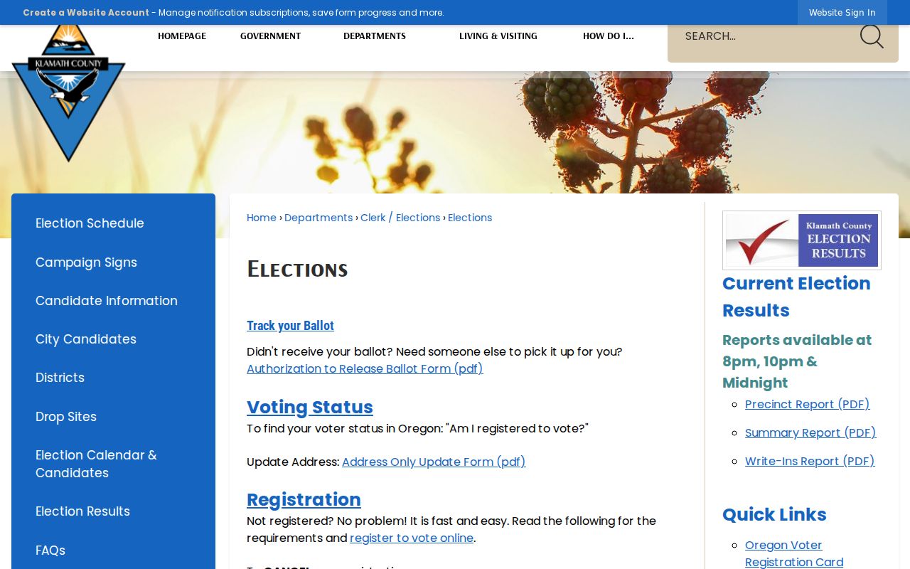
Election information can have narrow, lawful uses, but it does not change the parcel records into a current household list.
No Klamath Neighborhood Roster
No authoritative Klamath Falls neighborhood-association directory, HOA roster, block-watch member list, or umbrella association directory was found in the research. City, UGB, road, lighting-district, and taxlot layers are geographic or governmental categories. They should not be presented as membership lists.
| Official parcel and custodian records | Dated, source-specific facts about a property, jurisdiction, or recorded instrument. |
|---|---|
| Commercial neighbor tools | May combine data of uneven age and source quality; a result needs verification with the actual custodian. |
| Community membership | No verified public Klamath Falls roster was located. Do not assume membership from a map label. |
That gap is useful information. A block question can still be answered through neighboring parcel checks, a historical directory, or a specific record request, but the source and date must stay visible.
Klamath Falls Neighbor Requests
When a map creates a specific question, request the record from the office that created it. For city-created material, the City Recorder manages the Klamath Falls NextRequest process. Give the address, date range, department, record type, and whether inspection or a copy is wanted. Police records are routed to the Klamath Falls Police Division. A city request is appropriate only after City Limits or UGB layers support the city-jurisdiction choice.
County-held department records use the county request route. Property account questions belong with the Assessor, recorded documents belong with the Clerk, and circuit-court files belong with Klamath County Circuit Court. Oregon Public Records Law, ORS chapter 192, generally calls for acknowledgement or completion of a written request within five business days, then a response as soon as practicable. A lawful fee estimate can pause processing. The rule does not open confidential material or turn a general request for neighbors into a particular record.
A useful block note states the map layer, starting parcel ID, nearby parcel IDs, visible jurisdiction, and the record sought. It does not need to list names from every popup. This keeps the Klamath Falls neighbor request focused, repeatable, and tied to the right custodian.
Klamath Falls Neighbor Privacy
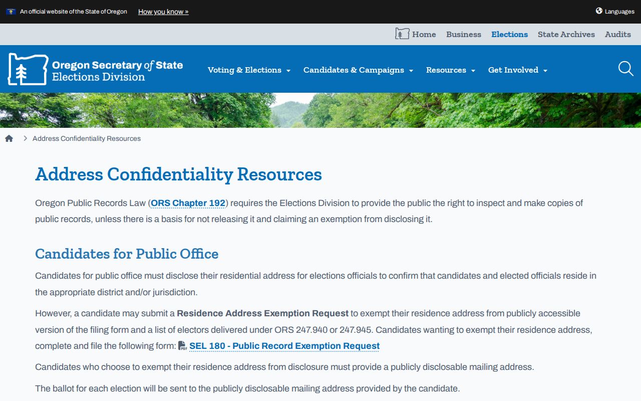
Renters, household members, utility customers, delivery customers, and DMV personal data are not a public neighbor directory. Oregon's Address Confidentiality Program can shield a qualifying participant's physical address, and voter-address exemptions are handled through the county clerk. A request to correct or withhold information is handled by the particular custodian, not by a map search.
The Oregon address-confidentiality information explains the protected-address channel. This Klamath Falls neighbors image is a reminder that protected records remain protected.
Use an address only for a lawful, record-specific purpose and leave protected information outside the search.
A Klamath Falls neighbor search should end when the available source cannot support the next claim. Keep a citation for each parcel fact, and ask the named custodian rather than combining unrelated sources into a personal profile.
Note: Record the parcel ID and source date for each nearby lot so an old map result is not mistaken for a present household fact.